Services
Aerial services scoped to real work.
Our core work is recurring development documentation. These are the individual capture and processing services behind it — also available on their own.
Core offering
Development Documentation & Site Intelligence
Recurring capture across the life of a development, organised into a dated project record your team can communicate with and refer back to.
01
Aerial Photography & Video
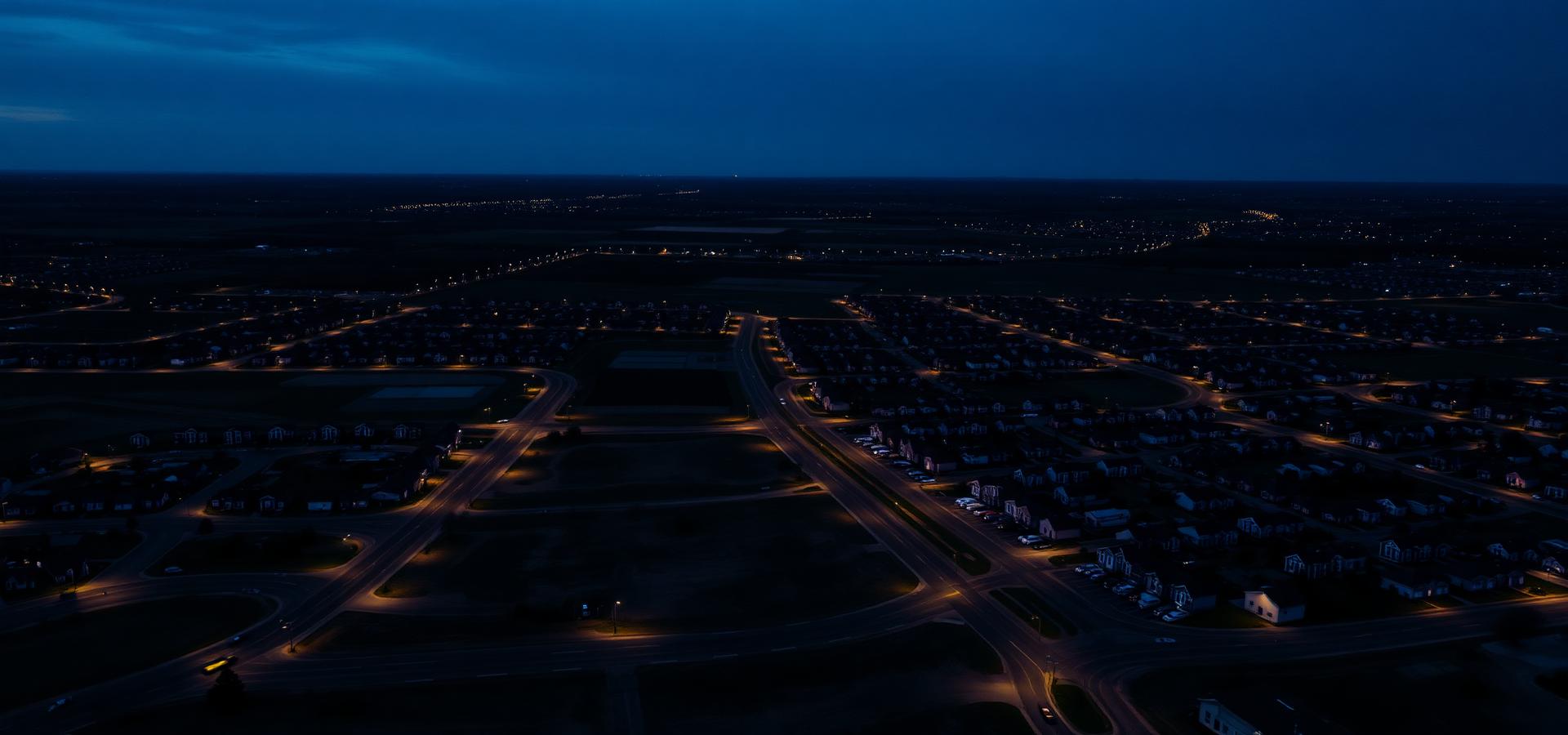
High-resolution aerial stills and cinematic video for marketing, documentation, properties, businesses, farms and special projects. Delivered colour-corrected and ready to use across print, web and social.
- High-resolution still photography
- Cinematic 4K aerial video
- Edited, colour-corrected deliverables
- Ground and aerial coverage combined
02
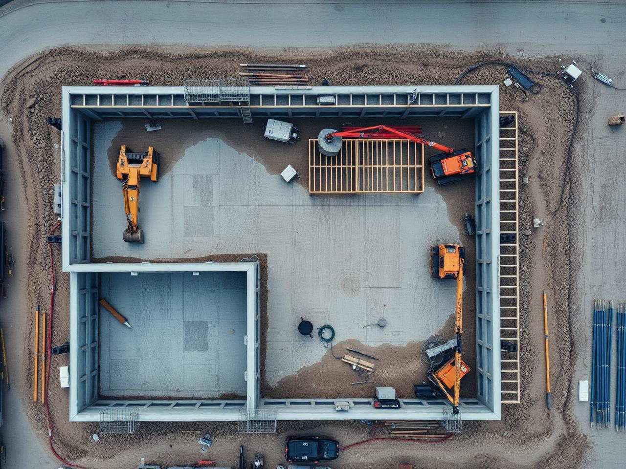
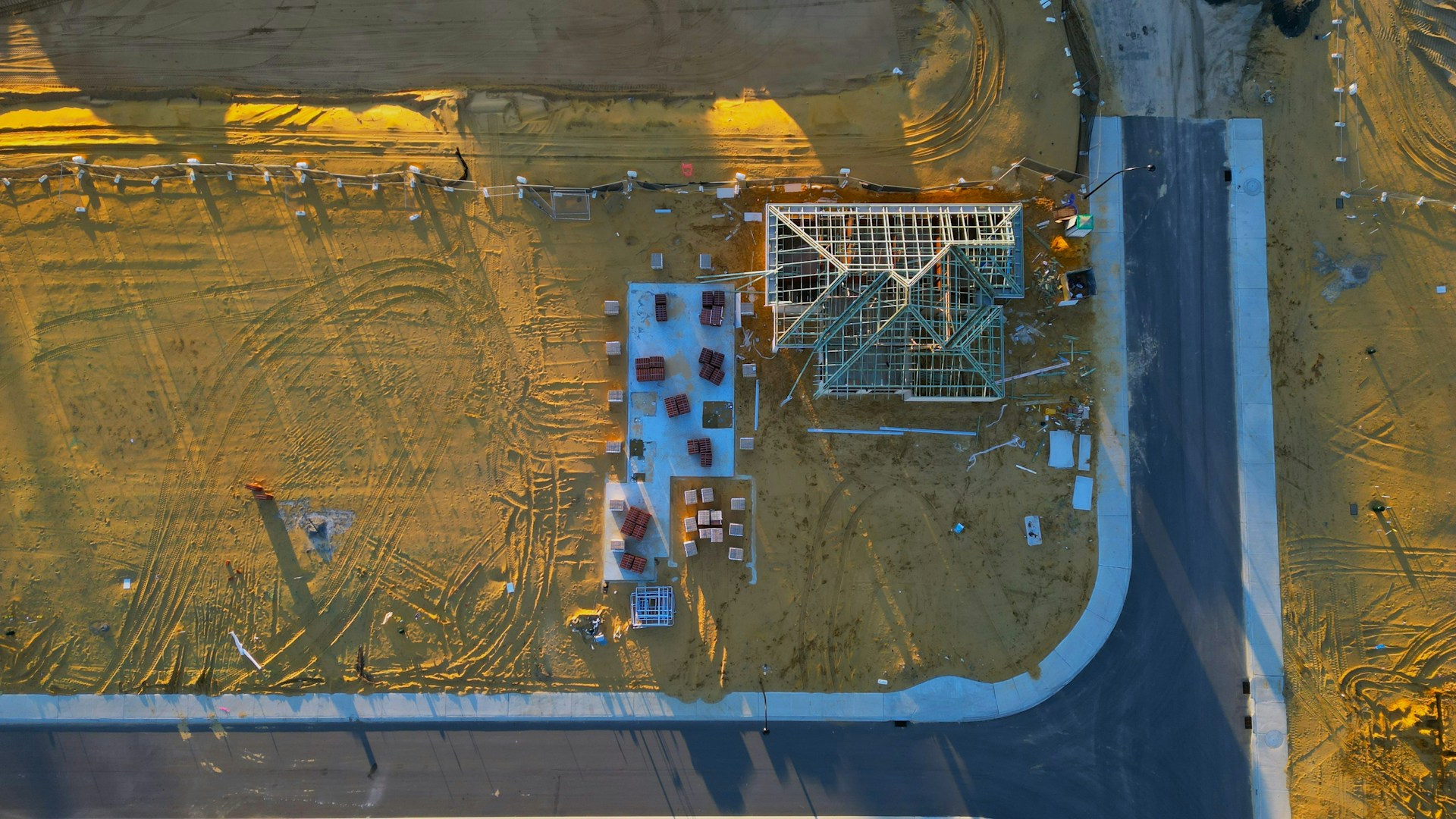
Development & Construction Documentation
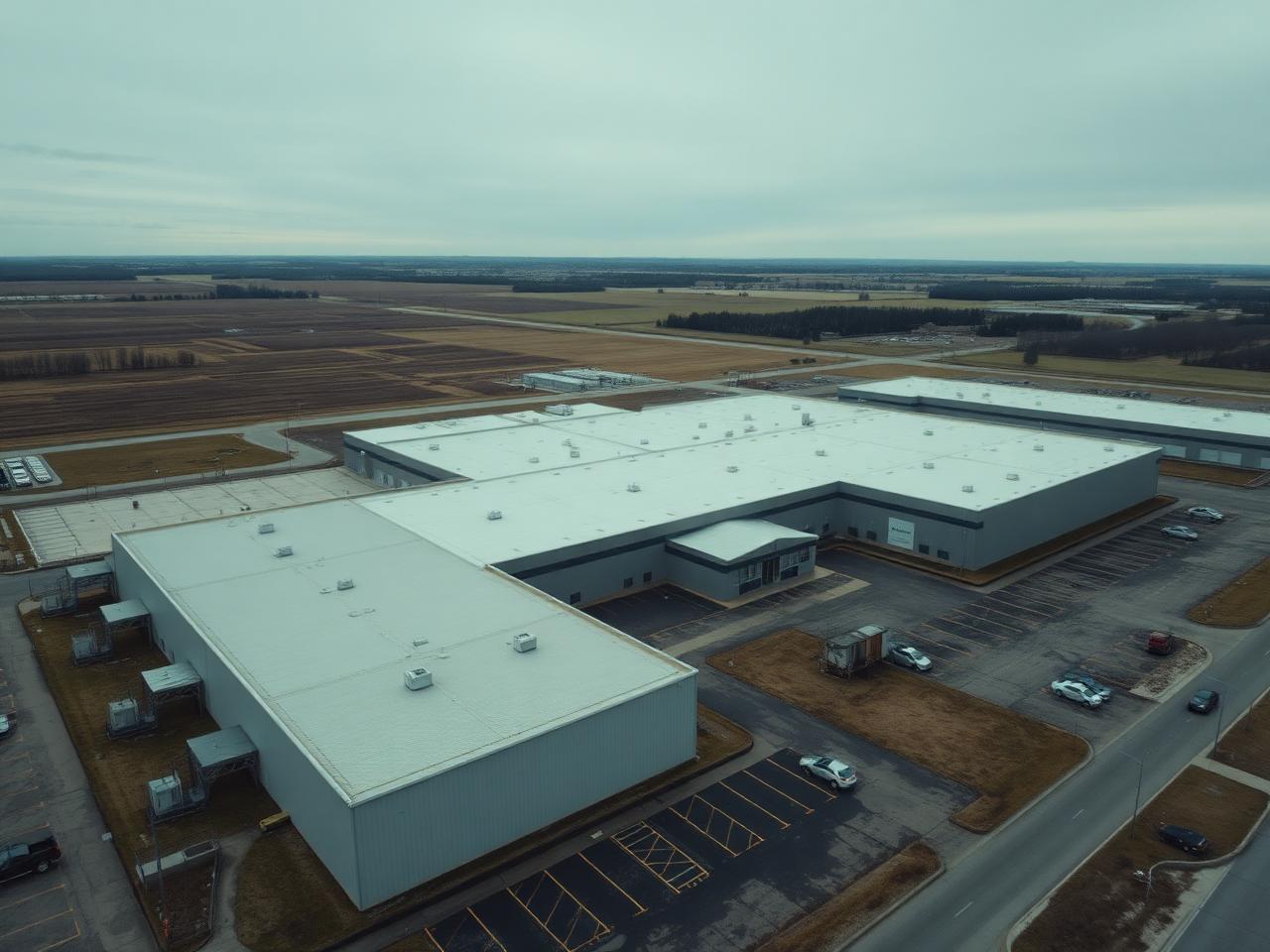
Scheduled aerial photography, video and mapping that documents development progress from initial site conditions through completion, communicates project status to stakeholders and builds a permanent, dated visual record of the build.
- Recurring capture from fixed vantage points
- Progress comparisons over time
- Site overview stills for reporting
- Archive of the full build sequence
03
Photogrammetry & 3D Mapping
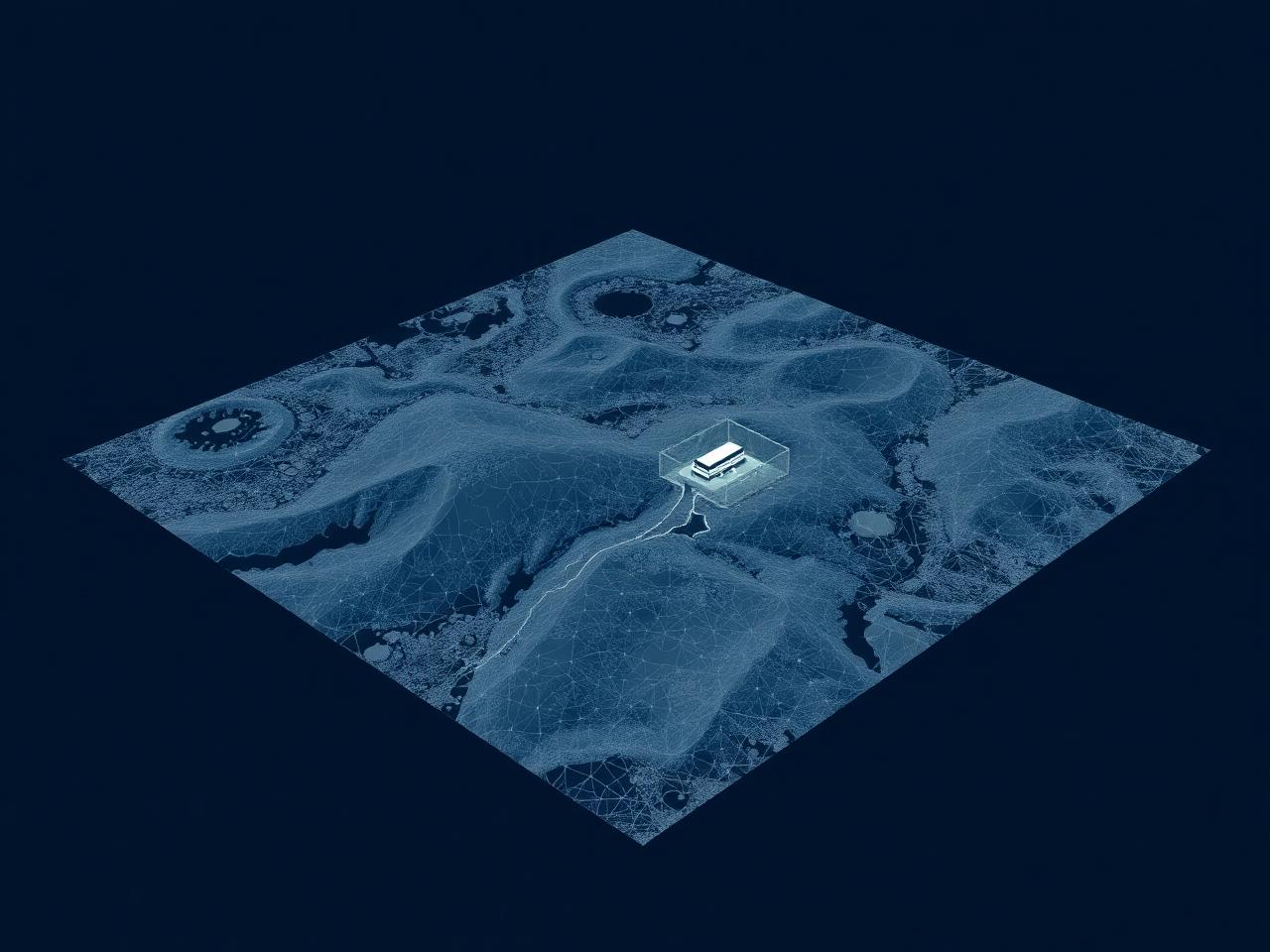
Drone-based imagery processed into orthomosaics, 3D models, point clouds, digital terrain models and other mapping products where the project and site conditions are suitable.
- Orthomosaic site maps
- 3D models and point clouds
- Terrain and elevation models
- Volume and area references where appropriate
04
Property & Roof Documentation
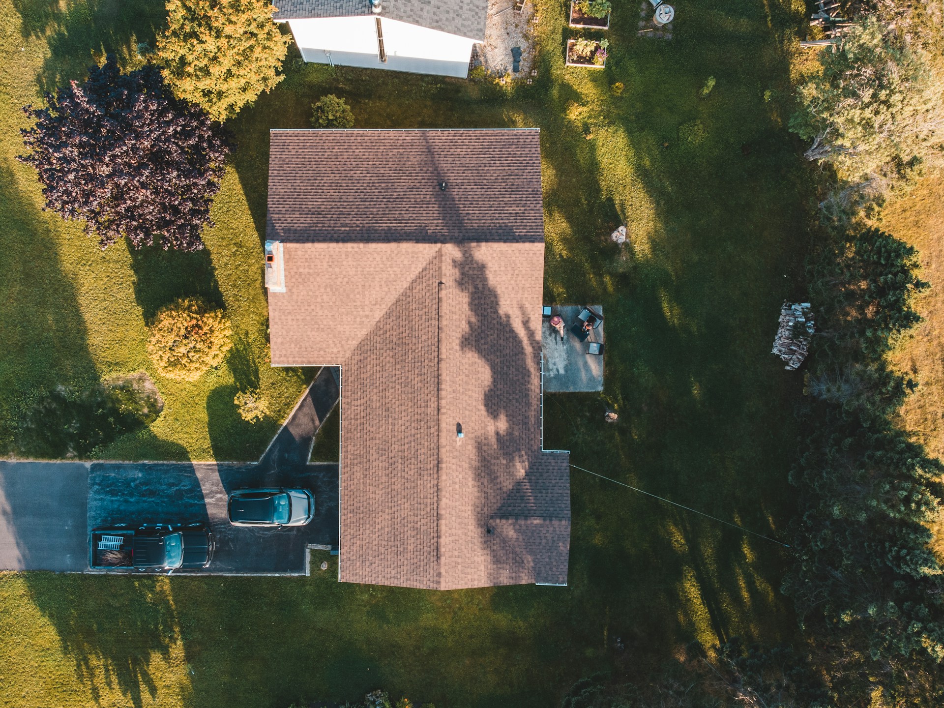
High-resolution aerial imagery for property documentation, roof condition documentation and insurance-related visual records — captured safely from the air, without ladders or lifts.
- Close-range roof and facade imagery
- Whole-property overview captures
- Date-stamped visual records
- Organised, shareable image sets
NRTH provides photographic documentation only. We do not represent this service as a certified engineering, structural or roofing inspection.
Discuss Your Project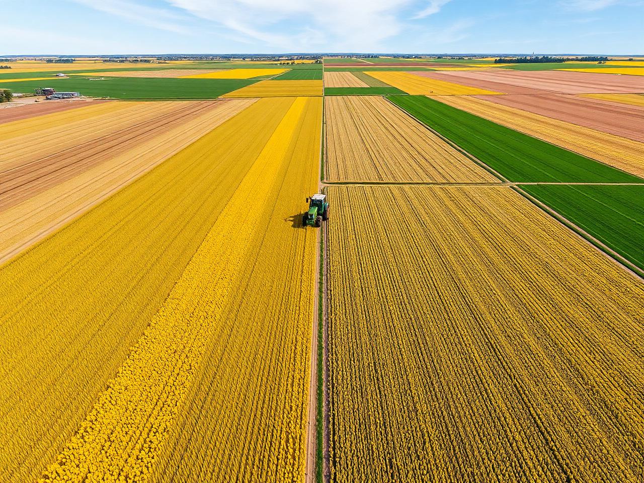
05
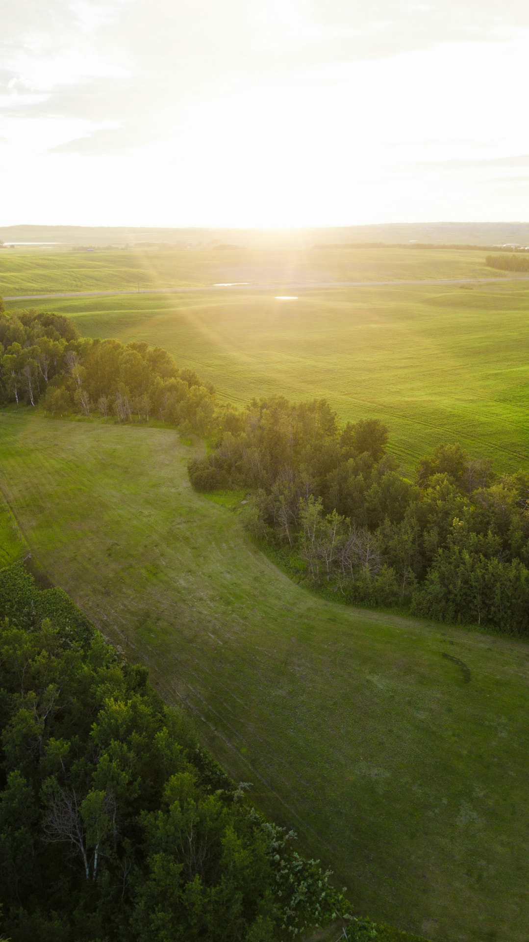
Agriculture & Land Documentation
Aerial imagery and mapping for farms, acreage properties, land development and agricultural documentation — useful for planning, records, drainage review and seeing the whole quarter at once.
- Whole-field and quarter-section imagery
- Field mapping and orthomosaics
- Acreage and land parcel documentation
- Seasonal comparison captures
06
Custom Drone Services
If your project doesn't fit a standard package, NRTH can develop a customised aerial solution — from one-off event coverage to multi-visit data collection programs.
- Scoped to your specific deliverables
- One-off or recurring capture
- Combined imaging and mapping outputs
- Straightforward, quoted up front
Get started
Not sure which service you need?
Describe the site and the outcome you're after — we'll recommend the right capture and deliverables.