Aerial progress photography
High-resolution stills from repeatable perspectives — clear visual documentation for reports, stakeholders, project history and communications.
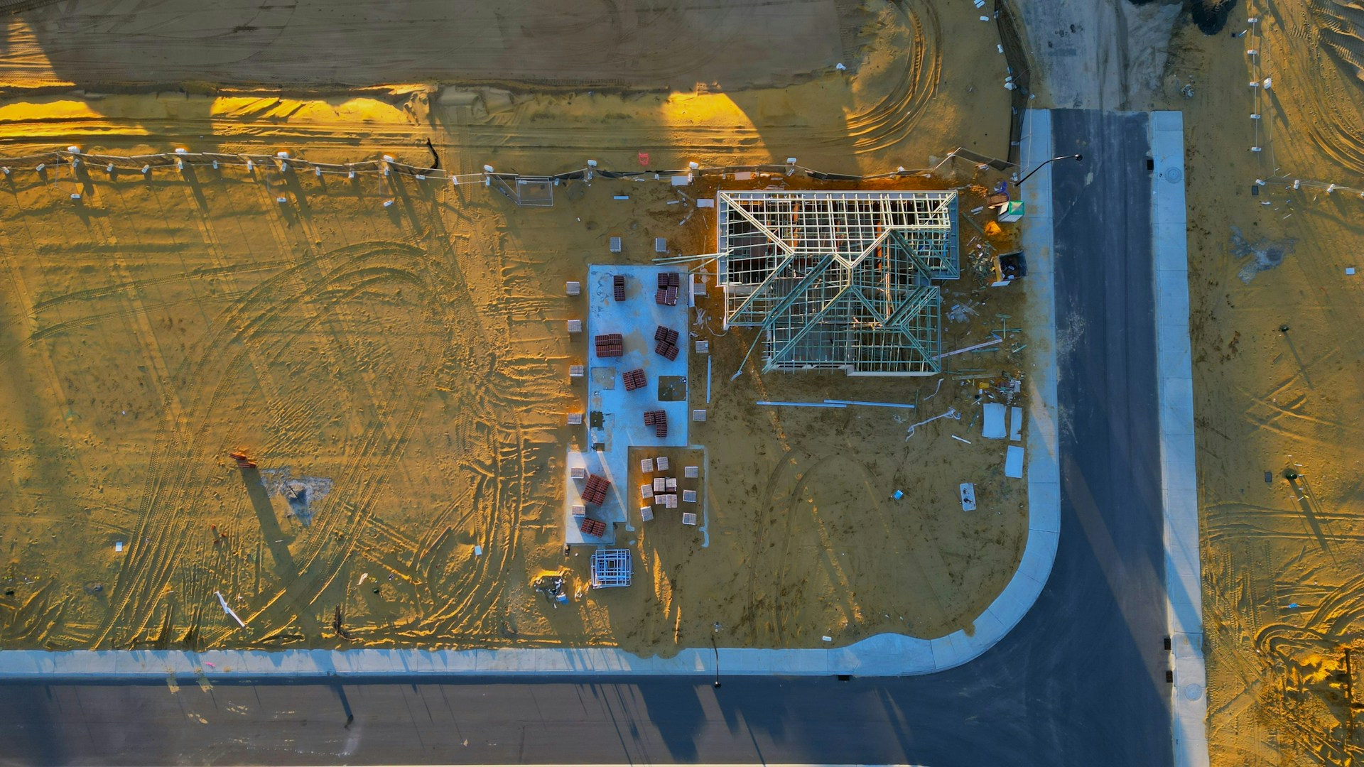
Development Documentation & Site Intelligence
NRTH Drone Services helps developers and construction teams create a consistent aerial record of their projects — improving stakeholder communication, project visibility, progress documentation and access to historical site data.
What we do
We periodically capture a development site and organise the resulting information into a clear, dated historical record your team can actually use.
The drone is the data collection platform — not the product. The product is better project documentation: current visual context for stakeholders, visibility into what is happening on site, and a record you can look back on if questions, challenges, insurance matters or unexpected site conditions come up later.
The difference
A drone flight captures today. A documentation program captures the story of the entire development.
One isolated aerial photograph has limited historical value. Repeated, organised captures of the same development compound into something far more useful, because your team can compare what existed before construction, during earthworks, during infrastructure installation, through building construction, at each milestone and at completion.
Why it matters
Six practical reasons development and construction teams keep a standing capture schedule.
Show investors, owners, partners, consultants, contractors and municipalities what is actually happening on site — current visual context alongside the written progress report.
A dated visual history from initial site conditions through construction and completion, so your team can look backward and understand how the site changed.
Another source of information about site progress and conditions for management — context that is difficult to get from ground-level photographs alone.
Organized, date-based records of site conditions and completed work that can be reviewed later when questions come up about access, materials, grading or sequencing.
Consistent visual documentation may provide useful supporting material if an insurance matter, claim, disagreement or project dispute occurs — data you can hand to the appropriate professionals.
Repeated aerial imagery, mapping and terrain information may help your team identify areas that deserve closer investigation — apparent water accumulation, changing ground conditions, access, material placement or sequencing.
NRTH Drone Services collects and processes aerial data that can help project teams and qualified professionals better understand, communicate and document site conditions. We do not provide legal land surveys, engineering analysis or opinions, certified measurements, insurance adjusting, building inspections or environmental assessments. Drone-derived measurements and models are informational unless specifically produced under the required professional standards.
How it works
The greatest value comes from comparable information collected throughout the project — not a single visit.
Document existing site conditions before major development activity begins — the baseline every later capture is compared against.
Return weekly, biweekly, monthly or at agreed project milestones, flying repeatable perspectives so captures line up.
Imagery, video, mapping and models are processed where applicable and organized chronologically by capture date.
You get material your team can put straight into stakeholder updates, progress meetings, reports and project files.
A dated visual history of the development that stays useful throughout construction and long after completion.
One dataset, multiple uses
The same site capture supports several business functions across your organisation.
One development capture
A single flight becomes a reusable project information asset.
The same capture gets used by different people in your organisation for entirely different reasons — long after the day it was flown.
Deliverables
Deliverables are scoped to the project — here's what each one is practically used for.
High-resolution stills from repeatable perspectives — clear visual documentation for reports, stakeholders, project history and communications.
Short, easy-to-understand visual updates for owners, investors, management and marketing.
A detailed, measurable-scale overhead representation of the development that lets the entire site be reviewed in context.
An interactive representation that helps remote stakeholders understand the site and its current stage of development.
Digital surface and terrain information that may provide additional context for project teams and qualified professionals.
Side-by-side captures that quickly communicate how an area has changed between two dates.
Every capture filed chronologically by project and date, so the right image can be found months or years later.
Secure access to your project's files, with WebODM project and model access where appropriate.
Project record
Each capture date holds photography, video, mapping or 3D data — building one continuous record of the project.
May 2025
Baseline photography and orthomosaic of the raw site before activity begins.
June 2025
Stripping, cut and fill progress with terrain surface capture for comparison.
July 2025
Servicing and trench routing documented before backfill covers the work.
August 2025
Vertical construction, laydown areas and site access captured at milestone dates.
September 2025
Latest capture compared against every prior date in the project record.
Example only — an actual capture schedule is built around your project milestones.
Who we work with
Developers and contractors who need to know — and show — what happened on site.
Baseline through completion records for parcels being brought online.
Progress documentation that supports owner reporting and site coordination.
Earthworks, grading and servicing captured before the work is covered up.
Facility builds, yards and laydown areas documented on a set schedule.
Linear and staged works recorded at agreed milestones across the build.
Independent visual context on how a project is actually progressing.
Other aerial services
Standalone aerial work for agriculture, property, roofs and one-off projects is still available across Central Alberta.
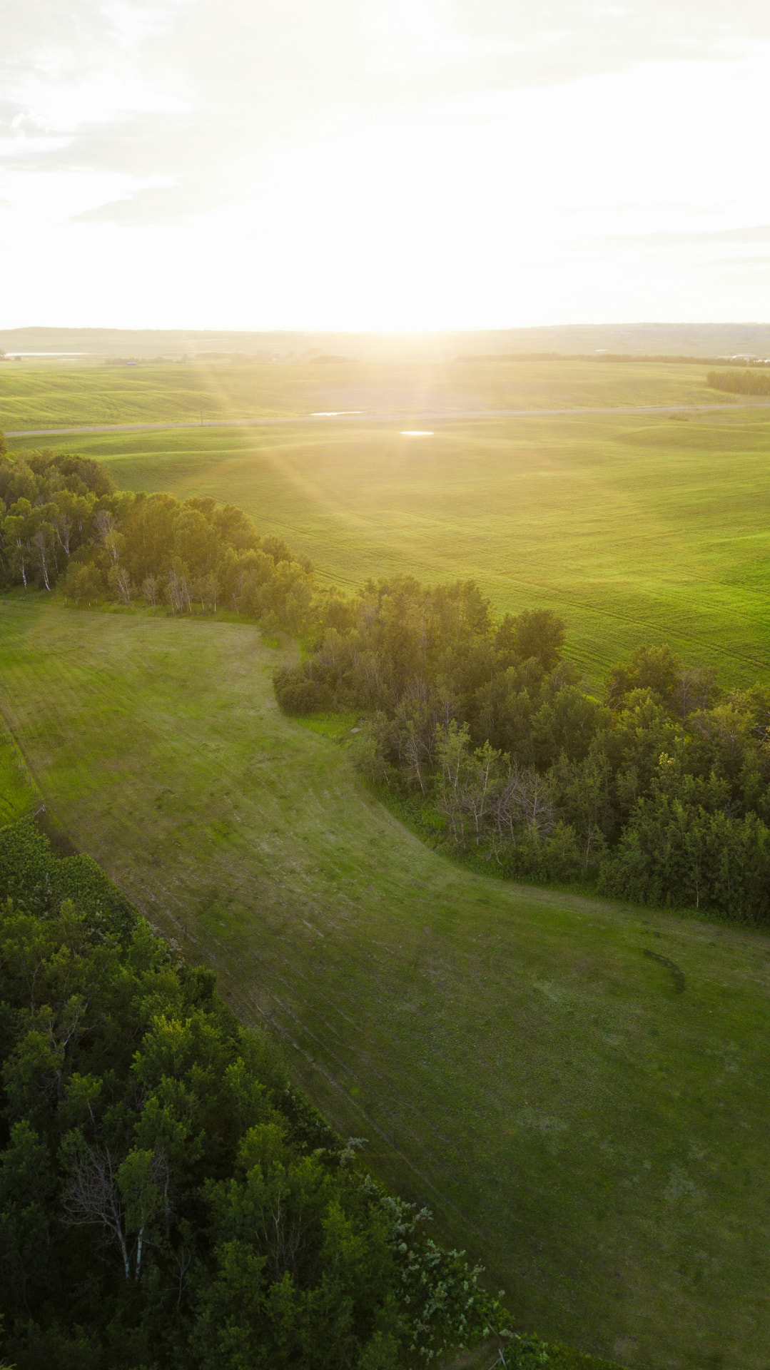
Professional aerial imagery and video for marketing, documentation and storytelling.
Learn more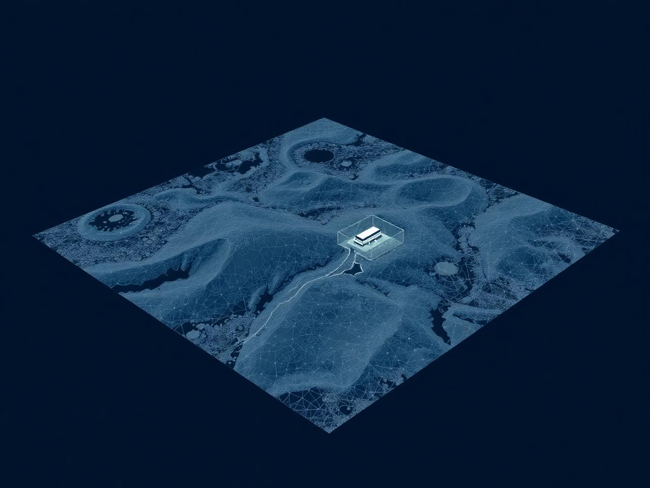
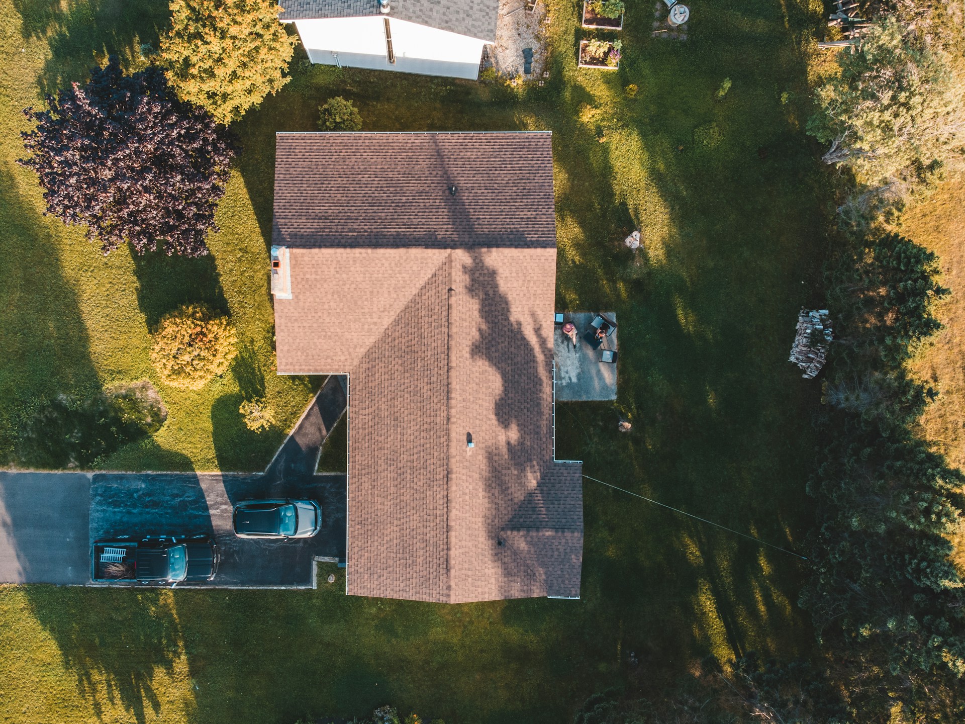
Detailed visual records of buildings, roofs and property conditions.
Learn moreWhy NRTH
Clear communication, agreed timelines and organised delivery on every project.
Modern drones, imaging sensors and photogrammetry processing workflows.
Based in Central Alberta and familiar with the region, the roads and the weather.
Focused on imagery and data you can actually use, not just files you can look at.
From a handful of aerial photographs to larger mapping and documentation programs.
Canadian drone operations flown with a strong focus on safe, responsible flight practices.
Service area
Based in the Red Deer region. Recurring capture schedules are easiest to keep when the site is close to home — projects outside this list are welcome, just ask.
…and surrounding Central Alberta communities.
Get started
Tell us about your project, its timeline and what your team needs to document. We can help develop a capture schedule and deliverable package around your project.