Construction
Progress documentation, site overviews and visual records that keep owners, trades and consultants aligned.
Industries
A contractor, an agronomist and a property manager all need something different out of the same flight. Here's how each of them uses it.
Progress documentation, site overviews and visual records that keep owners, trades and consultants aligned.
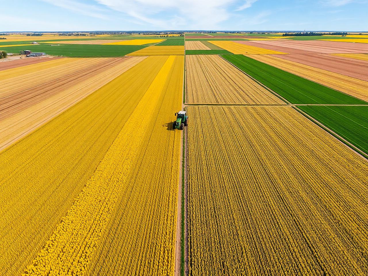
Whole-field imagery, field maps and seasonal records for growers, agronomists and landowners.
Aerial stills and video that show the property, the lot lines and the surroundings in one frame.
Condition documentation for buildings, grounds, parking areas and roofs across a portfolio.
Close-range roof imagery and date-stamped visual records captured without putting anyone on a ladder.
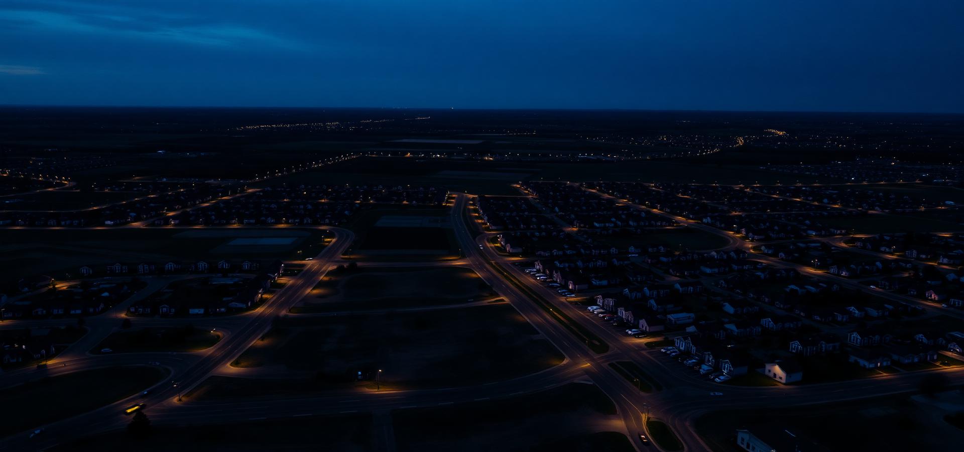
Pre-development site capture, orthomosaics and staged documentation as a parcel is brought online.
Facility overviews, yard and laydown documentation, and marketing imagery for commercial sites.
Events, tourism, municipal work, environmental records — if it can be flown safely, let's talk.
Get started
If a project can be flown safely and legally, there's a good chance we can document it. Tell us what you're working on.